New shore
Lorient, 2024
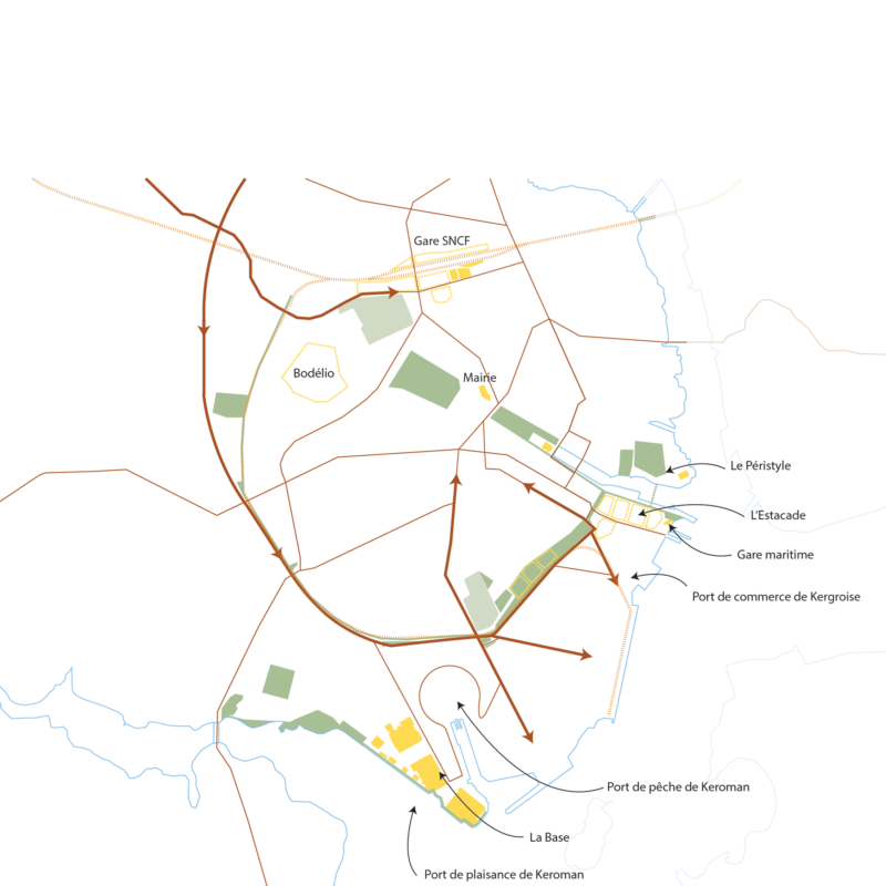
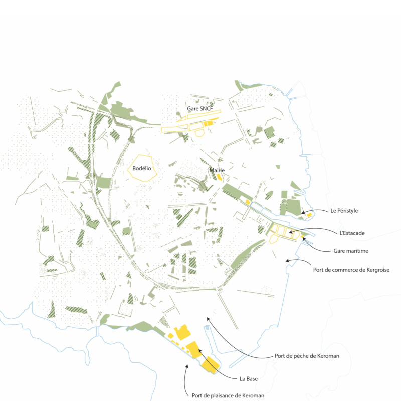
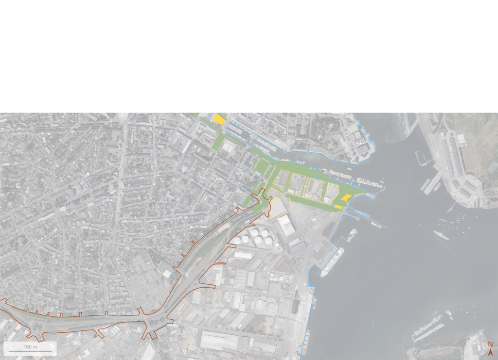
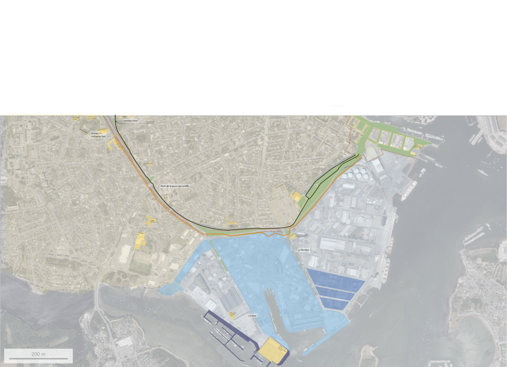
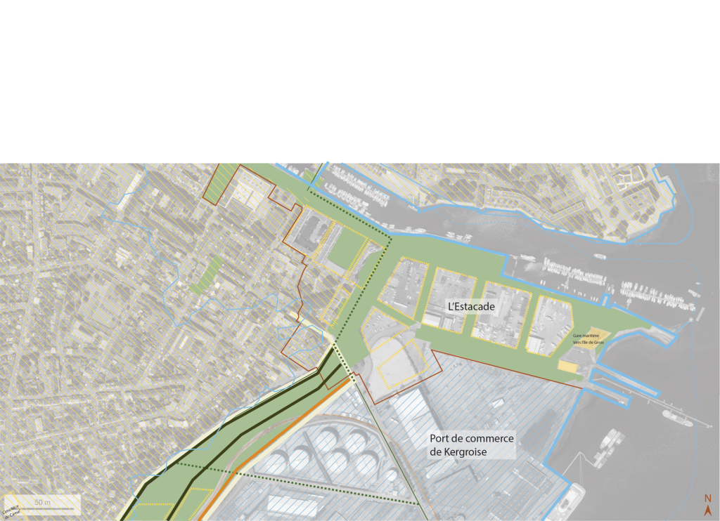
When you look at an aerial photograph of the city of Lorient, you’ll notice the historical divide between the inhabited town, the port and military quarters. This division matches almost exactly the old coastline erased after the second world war, when the Kergroise jetty and port were built. Today, the effects of zoning and the separation between the active city and the inhabited city are fading, giving way to a possible continuity between different public spaces and urban hubs (the base, the ports, the estacade…).
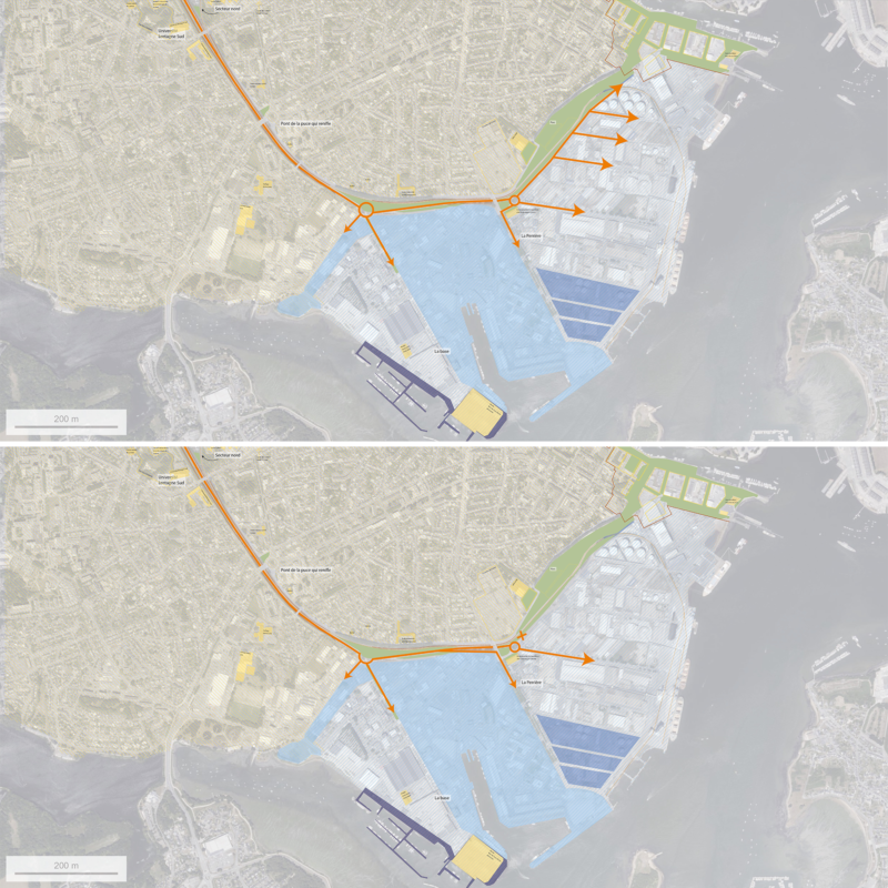
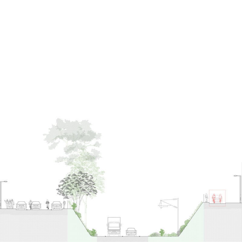
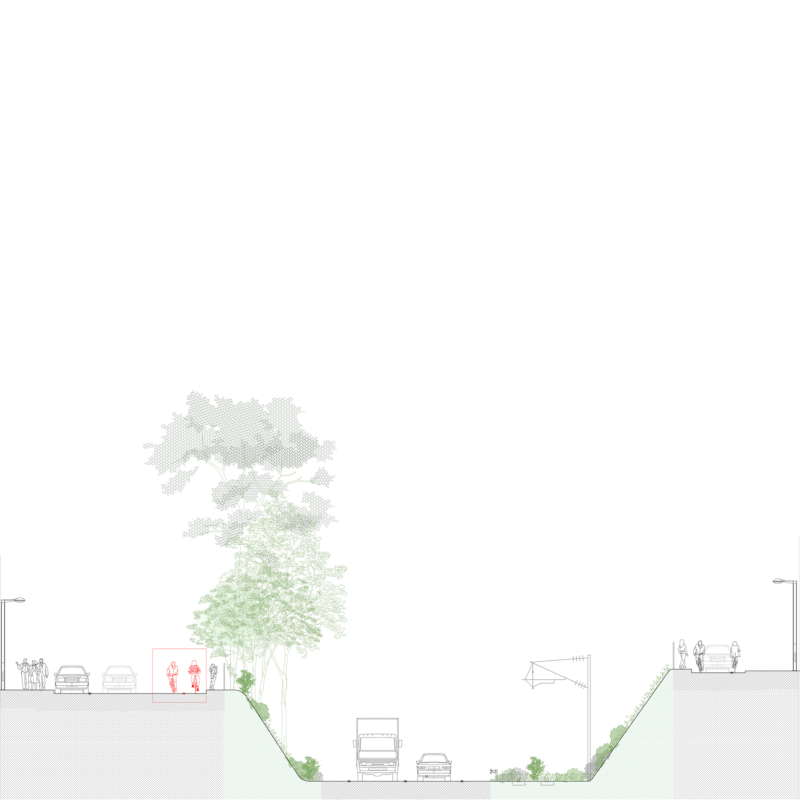
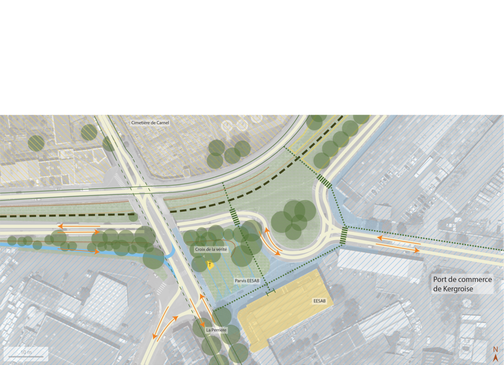
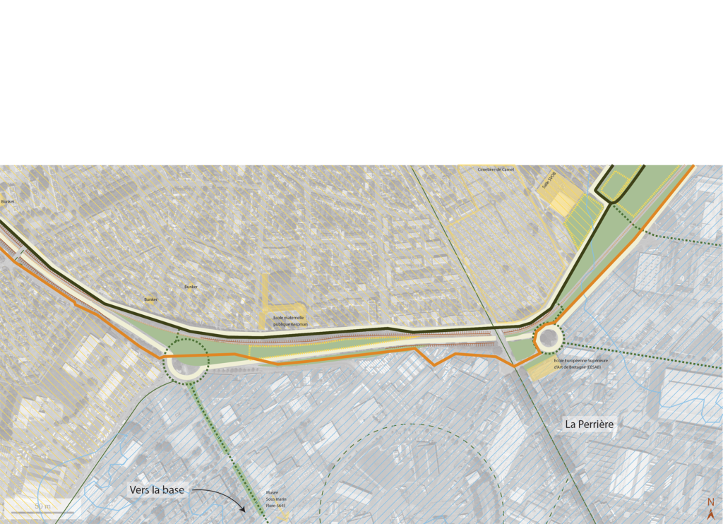
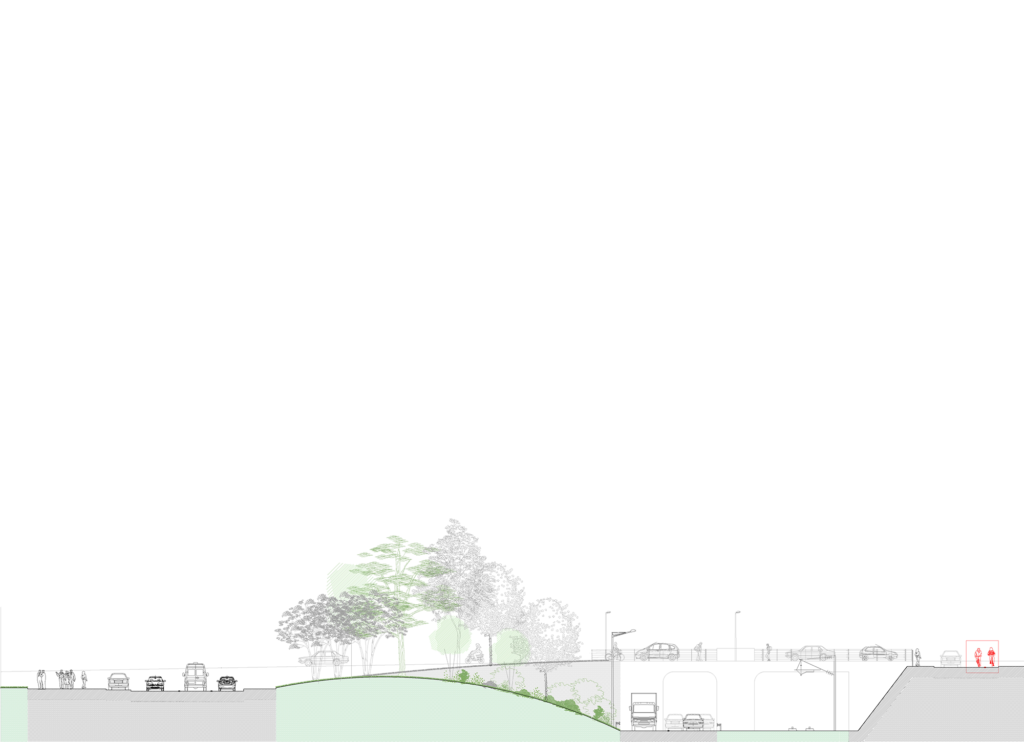
These dynamics appear strongly around the Submarine Base, on the estacade project and in the harbour enclosure, where the city enters the productive fabric of the ports, the city’s greatest asset. The “Lorient Penetrante”, the city’s entrance road, is a space within the city, but one that lacks identity, missing a name other than RD 465. Yet it plays a central role in irrigating the city center and bridging the gap between city and port. The greenway represents a genuine linear and transversal opportunity to sew up the south of the city and link it to the history of the harbor.
This revisited interface takes the form of a NEW SHORE, a fluctuating transition space between land and sea, between the city and its port.
Project: FEASIBILITY STUDY AND PROJECT FOR THE DESIGN OF A GREENWAY AND THE CITY’S ENTRANCE TO THE LORIENT COMMERCIAL PORT
Client: City of Lorient
Team: ATELIER TISSOT (Lead), ADEPE, APPUI VRD, ATELIER LE CAB, DVI
Dates: 2024
Surface: 4,5 ha
Price: NC
Images crédits: ATELIER TISSOT
